 < back
Wachusett Reservoir
next >
< back
Wachusett Reservoir
next >
< back
Wachusett Reservoir
next >
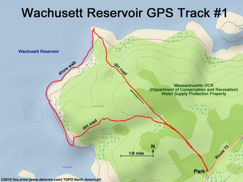
| Here is the GPS track of my first hike. I follow an access road to the water's edge, walk a section of the shoreline, and return via another access road. This hike is 2 miles with 150 feet of vertical and takes 1 hour. |