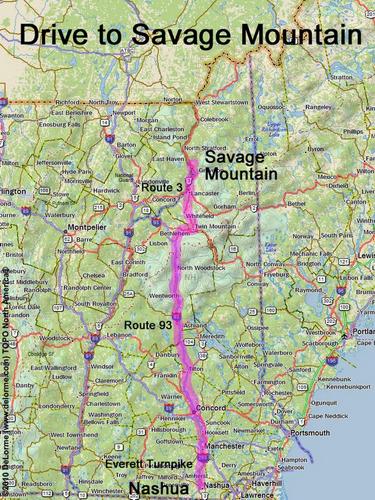
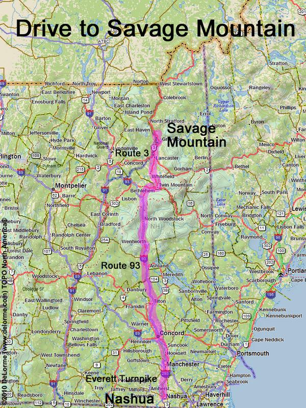
 Savage Mountain
150 miles 3 hours
Park at roadside:
N 44 39.139
W 71 33.533
Google map: NH 100 Highest
Roads (from Nashua NH):
- Everett Turnpike north
- Route 93 north to Exit 35
- Route 3 north (42 miles)
- Bog Road northeast
[Note: Bog Road is no longer a through road;
take residential roads to the left to get to Bog Pond]
- Bordeau Road
- Skyview Road
Access roads may be closed in winter