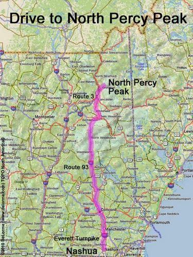
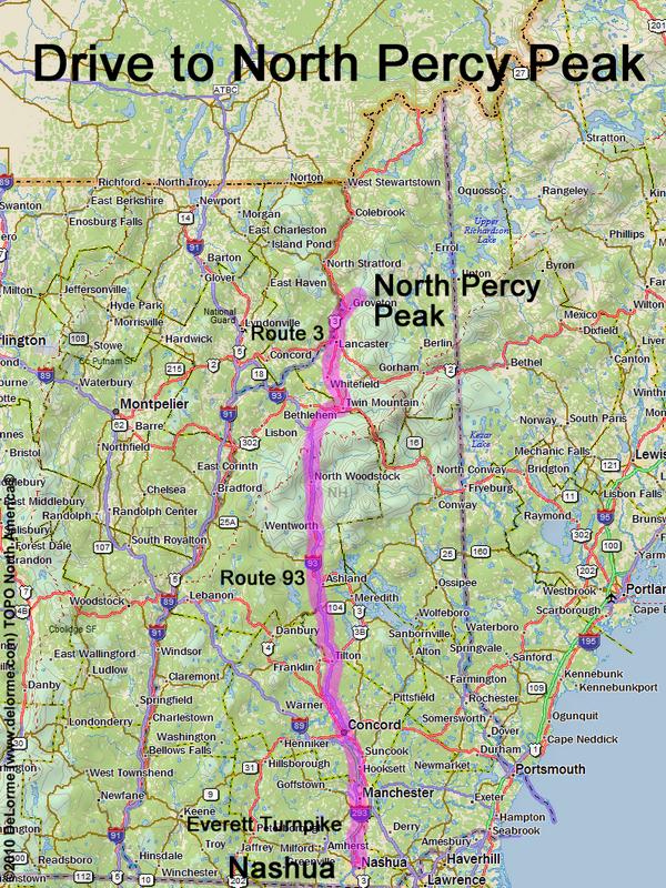
 North Percy Peak
150 miles 2 3/4 hours
Park at roadside parking area:
N 44 39.912
W 71 27.480
Google map: NH 3000-Footers
Roads (from Nashua NH):
- Everett Turnpike north
- Route 93 north to Exit 35
- Route 3 north (37 miles) to Groveton, NH
- Route 110 east (2.6 miles)
- Emerson Road northeast (1.4 miles)
- Northside Road east (0.7 miles)
- Nash Stream Road north (2.7 miles)
Nash Stream Road may be closed in winter