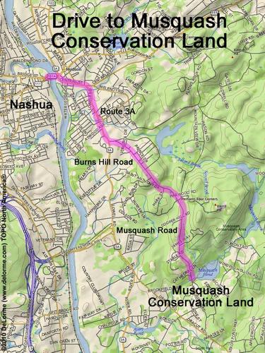
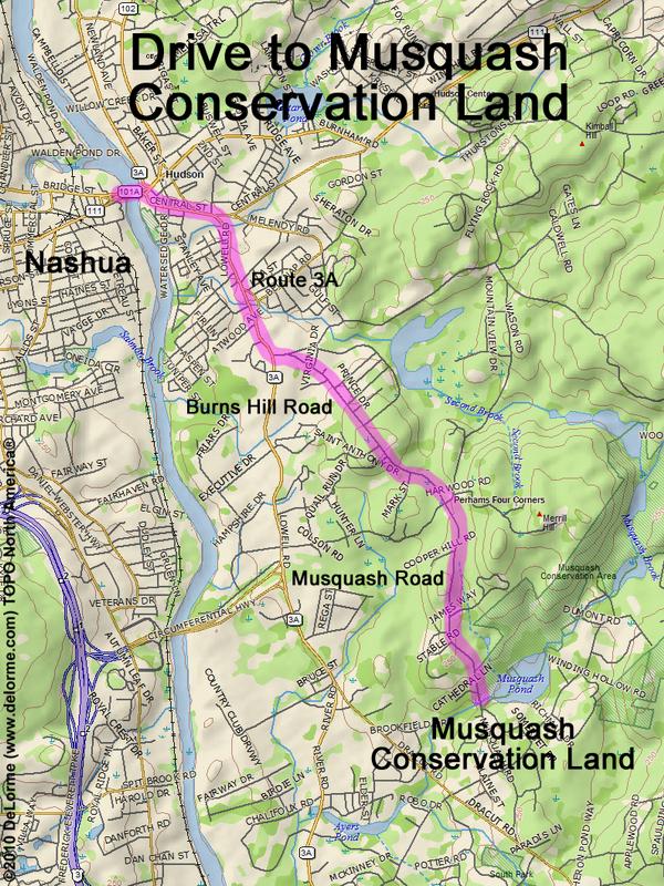
 Musquash Conservation Land
5 miles 15 minutes
Park at trailhead parking lot:
N 42 43.100
W 71 24.032
Google map: Nature Walks in Southern NH
Roads (from Nashua NH):
- Route 111 east to Hudson, NH
- Route 3A south (1.4 miles)
- Pelham Road east (0.1 mile)
- Burns Hill Road south (1.4 miles)
- Musquash Road south (1.3 miles)