 < back
Dubes
next >
< back
Dubes
next >
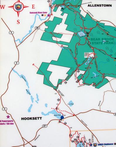
| At the trailhead kiosk is this map (provided by the Southern New Hampshire Snow Slickers) showing the Dubes Pond Trail (starting at the blue dot) and the Old Chesterfield Turnpike. It even shows the "end" of the turnpike where the road is flooded. |