 < back
Deer Island
next >
< back
Deer Island
next >
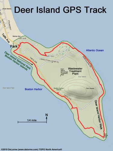
| Here is our GPS track. For most of the way we walk the perimeter, wheelchair-accessible route; but we diverge uphill near hike end for the view. Deer Island got nabbed by the mainland to become a peninsula when the hurricane of 1938 closed the Shirley Gut boat passageway. |