 < back
Boundary Bald
next >
< back
Boundary Bald
next >
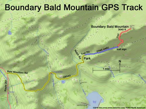
| Here is a GPS track of our hike up Boundary Bald. Yellow is how far we travelled by car; Blue is our walk up the deteriorated section of Trail Road; and Red is our hike up the summit trail (the trail sign says "Bald Mountain Tower", but the tower is long gone). |